Emergency Response
Responding to emergencies with reliable technology and trained pilots
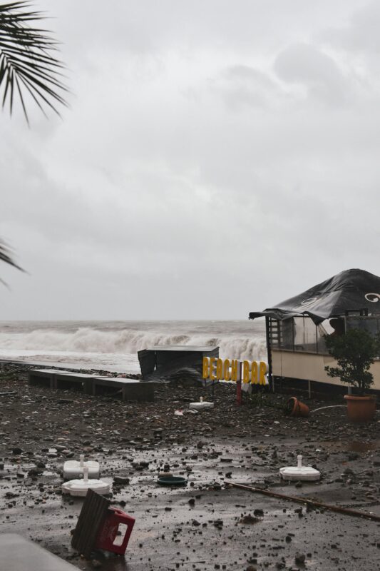
Our drones are designed to operate in critical situations, providing real-time information to accelerate recovery and facilitate quick, effective decision-making.
Altitude hold allowing pilots to focus on steering while the drone maintains a constant altitude.
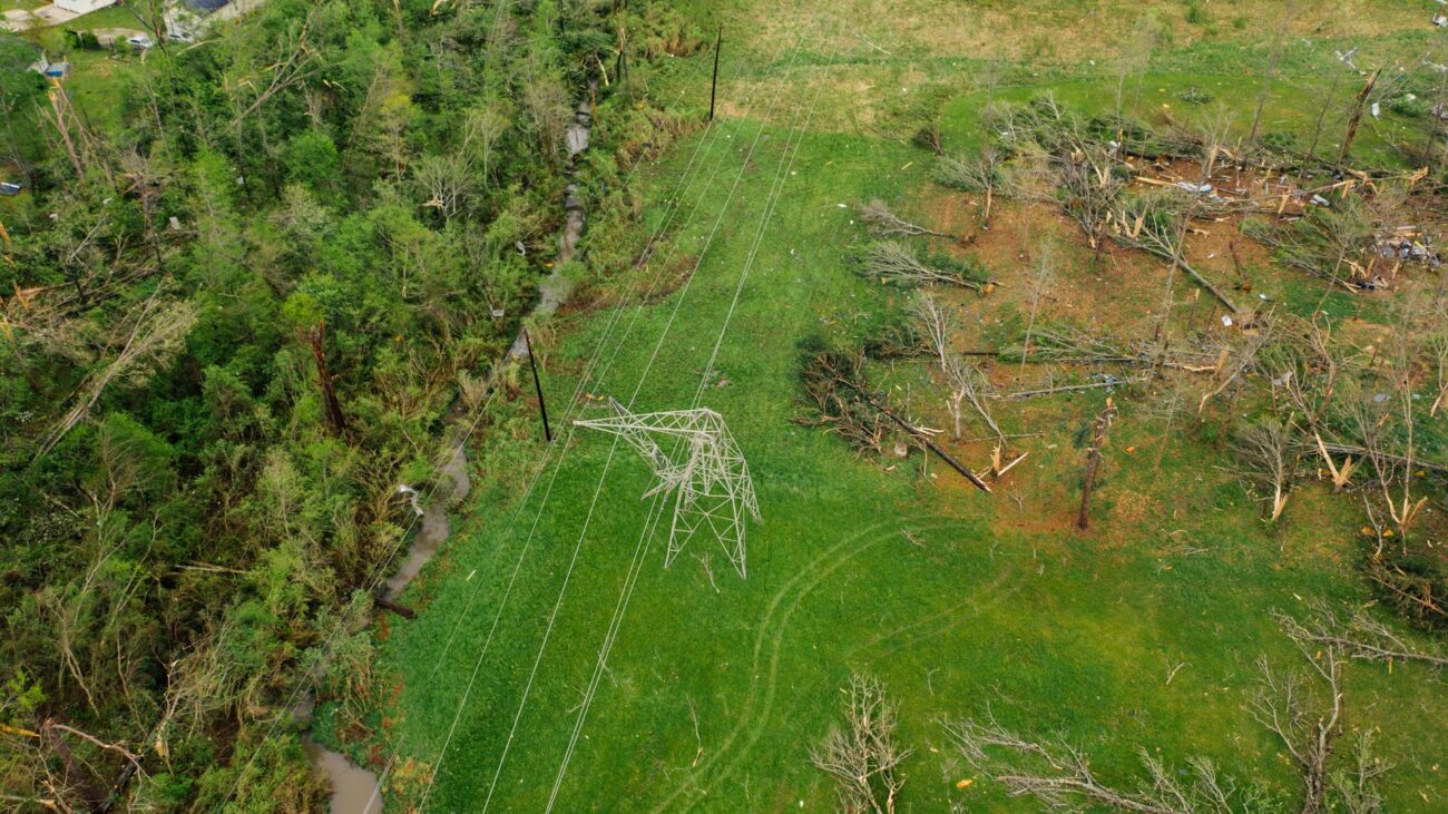
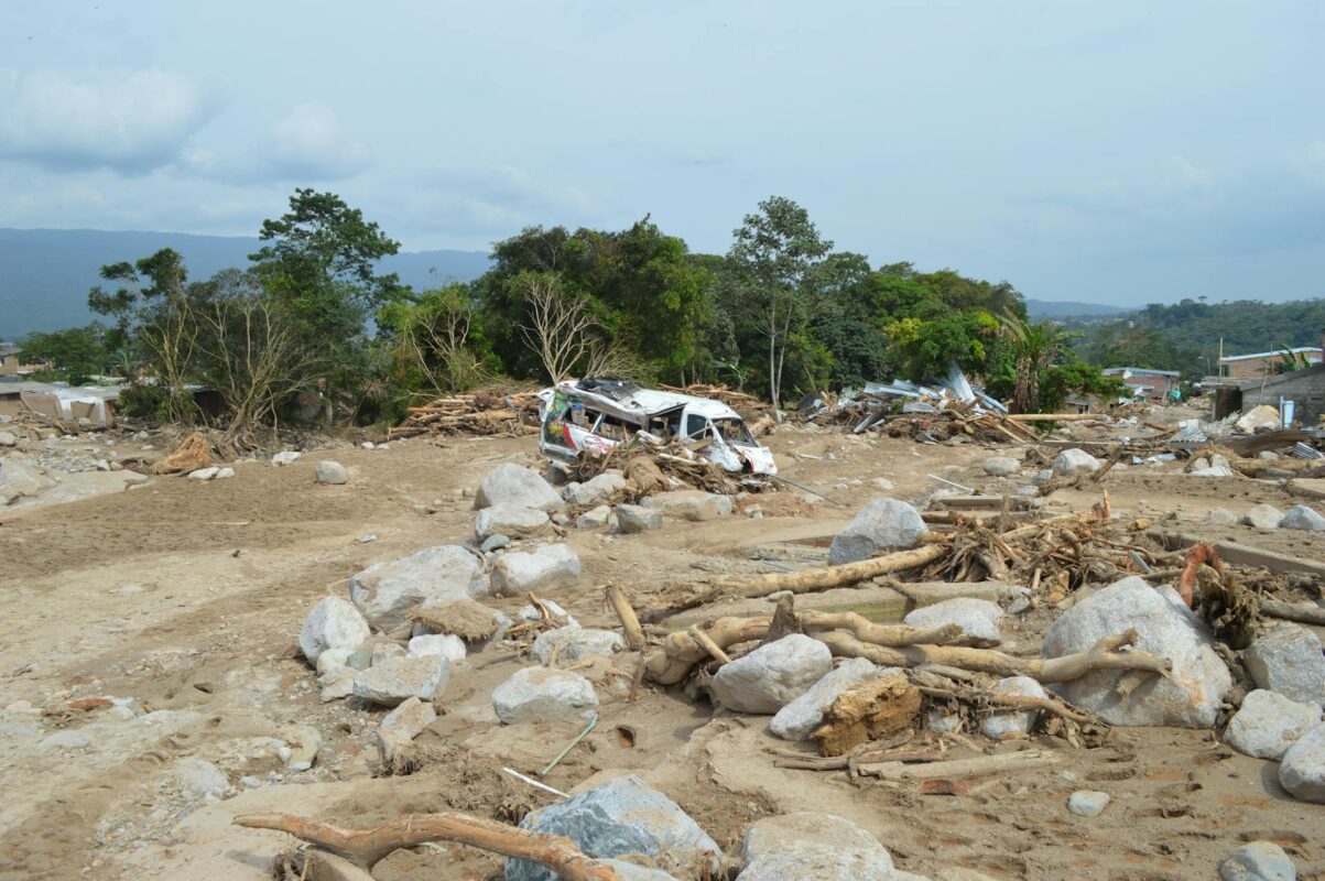
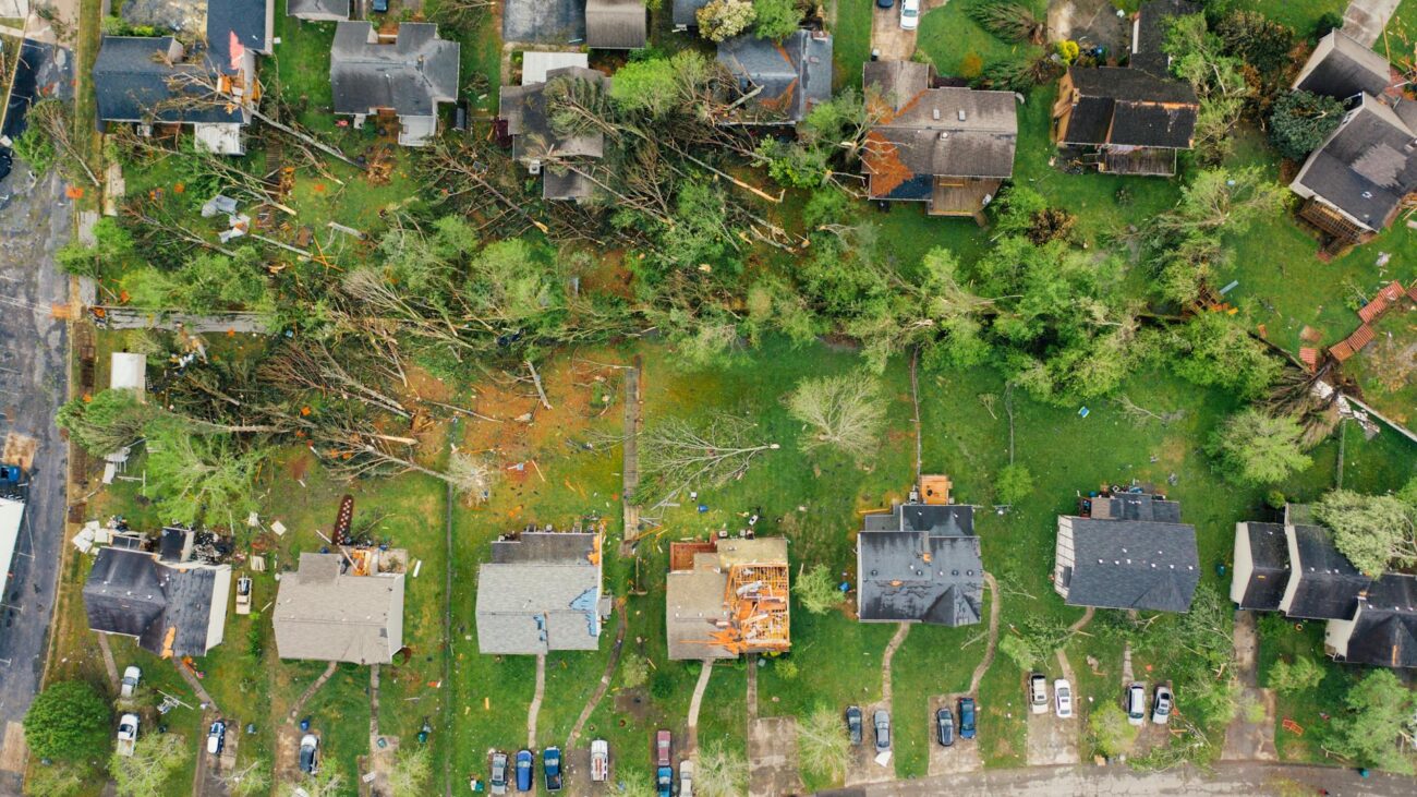
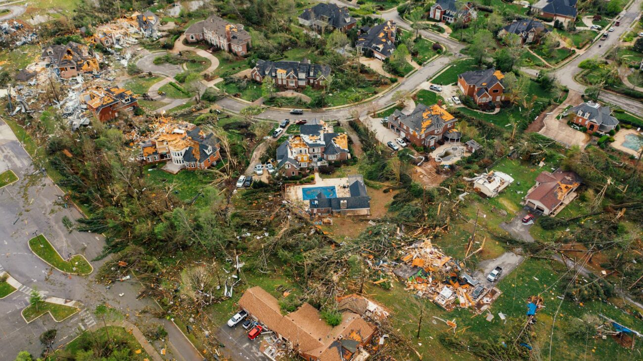
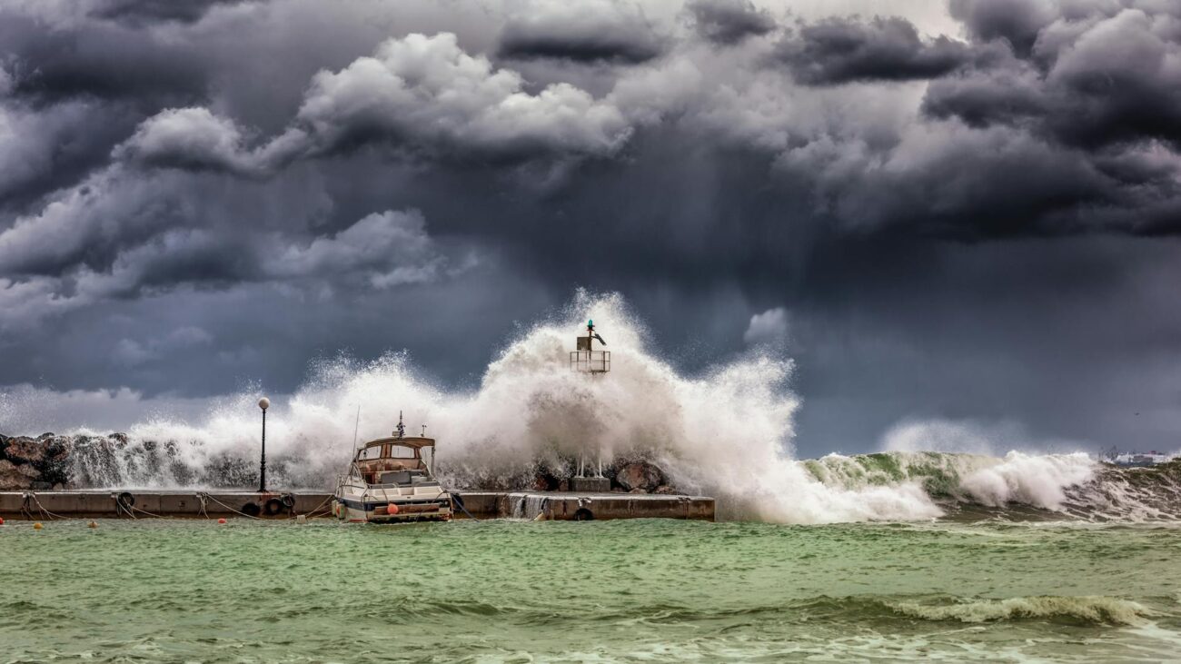
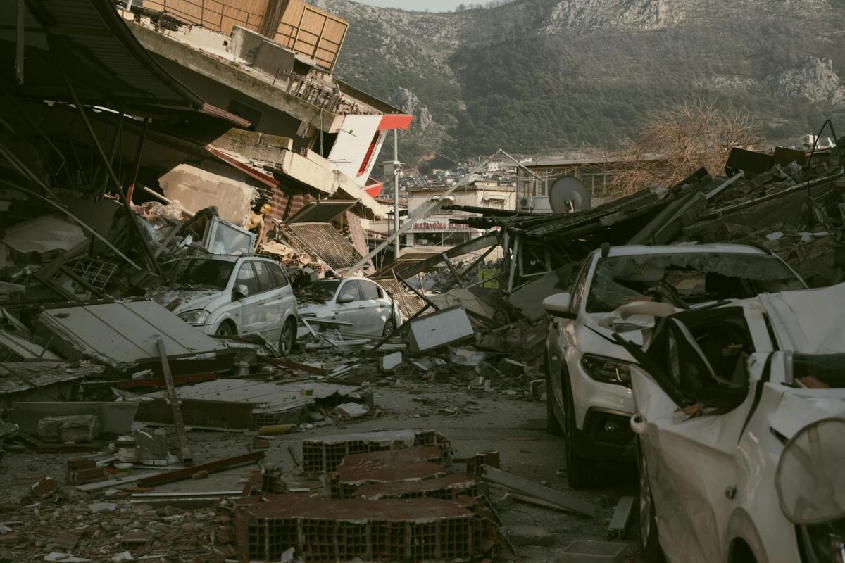
- Monitoring areas affected by natural disasters.
- Detecting hard-to-reach or high-risk zones.
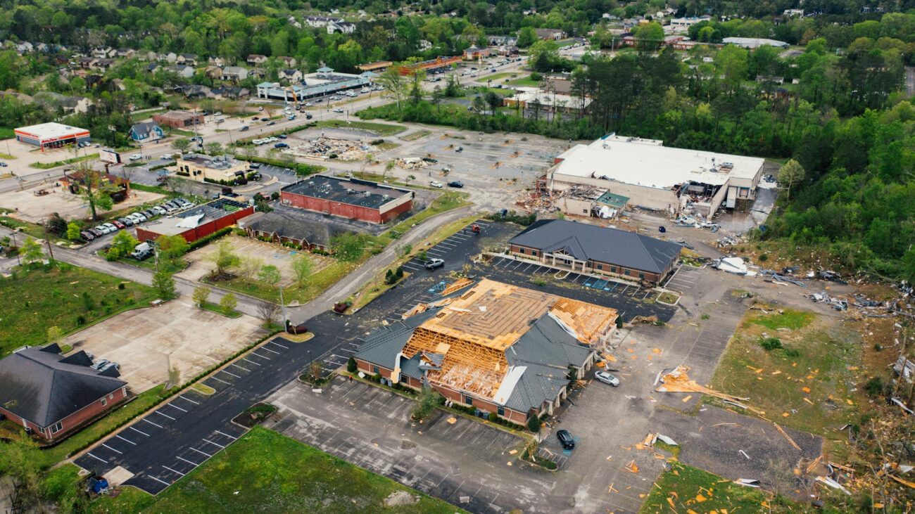
- Rapid inspection of damage to critical infrastructure.
This service is essential for coordinating resources and assessing damage efficiently in emergency situations.
Real-Time Visual Assessment
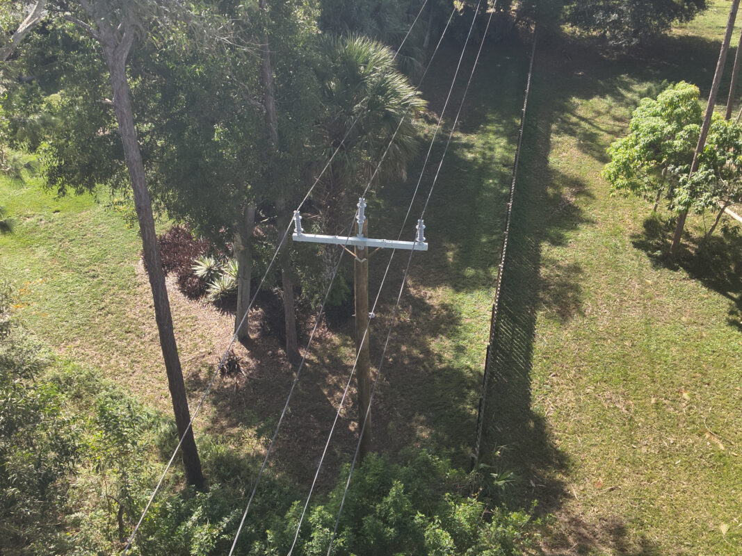
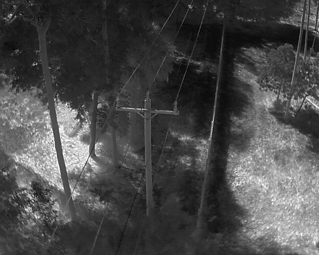
Equipped with a thermal camera and 4K camera, we can fly in specific areas and provide environmental site responses.
Scouting
Terrain Changes & Fire Assessment
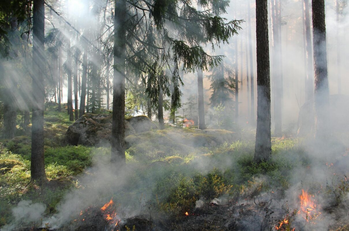
Fire & Smoke Response
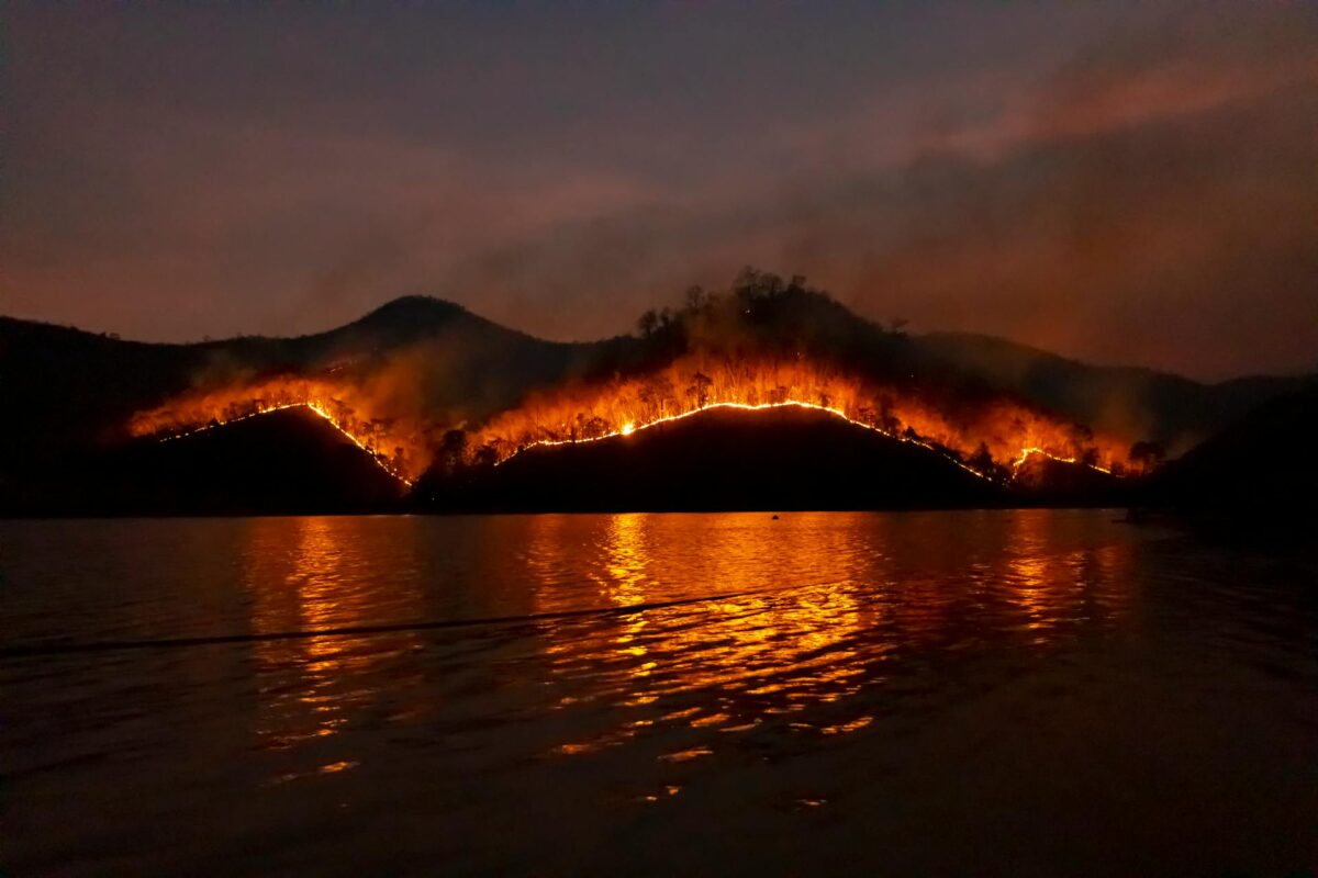
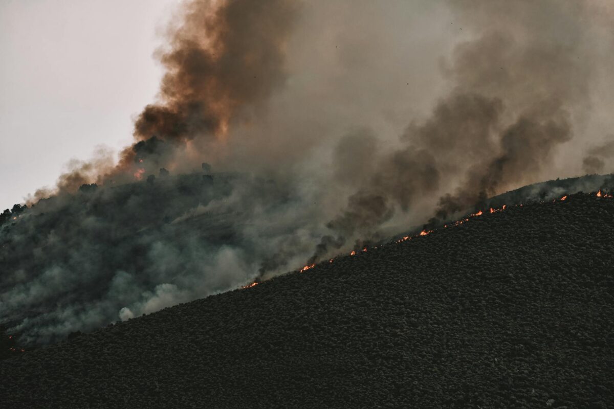
Flights around a fire to provide thermal imaging assessment of the fire. These features allow response teams to assess an emergency with detailed information, while at a safe distance.
