We take aerial operations to the next level. We specialize in drone-powered solutions for inspections, mapping, audiovisual production, real estate promotion, and emergency response. Our mission is to help you make smart decisions with accurate data and stunning visuals, tailored to meet the unique needs of every client.
A full-service photo, video & drone solutions
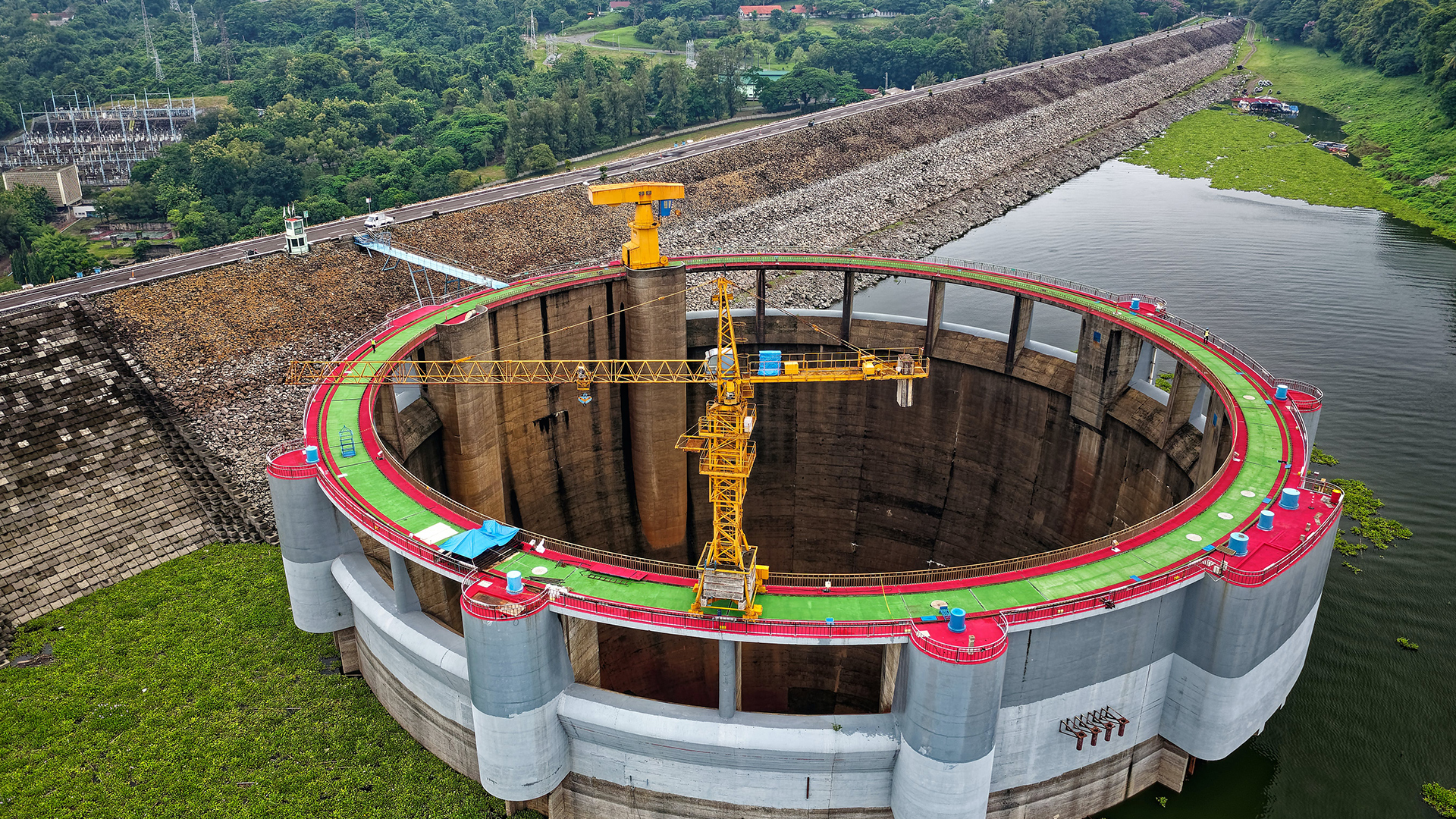
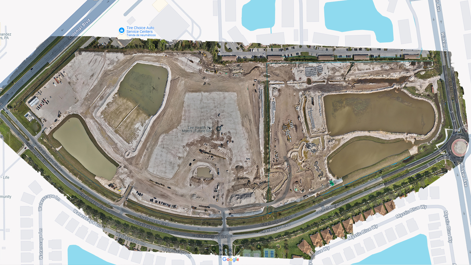
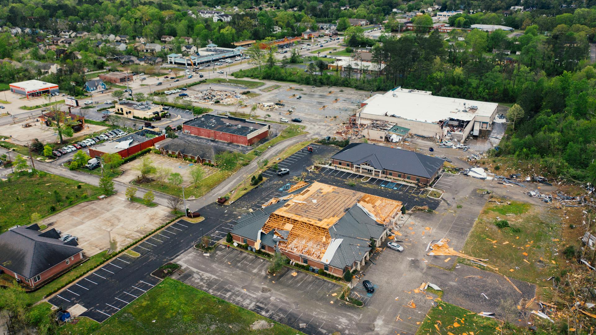
Infrastructure Inspections
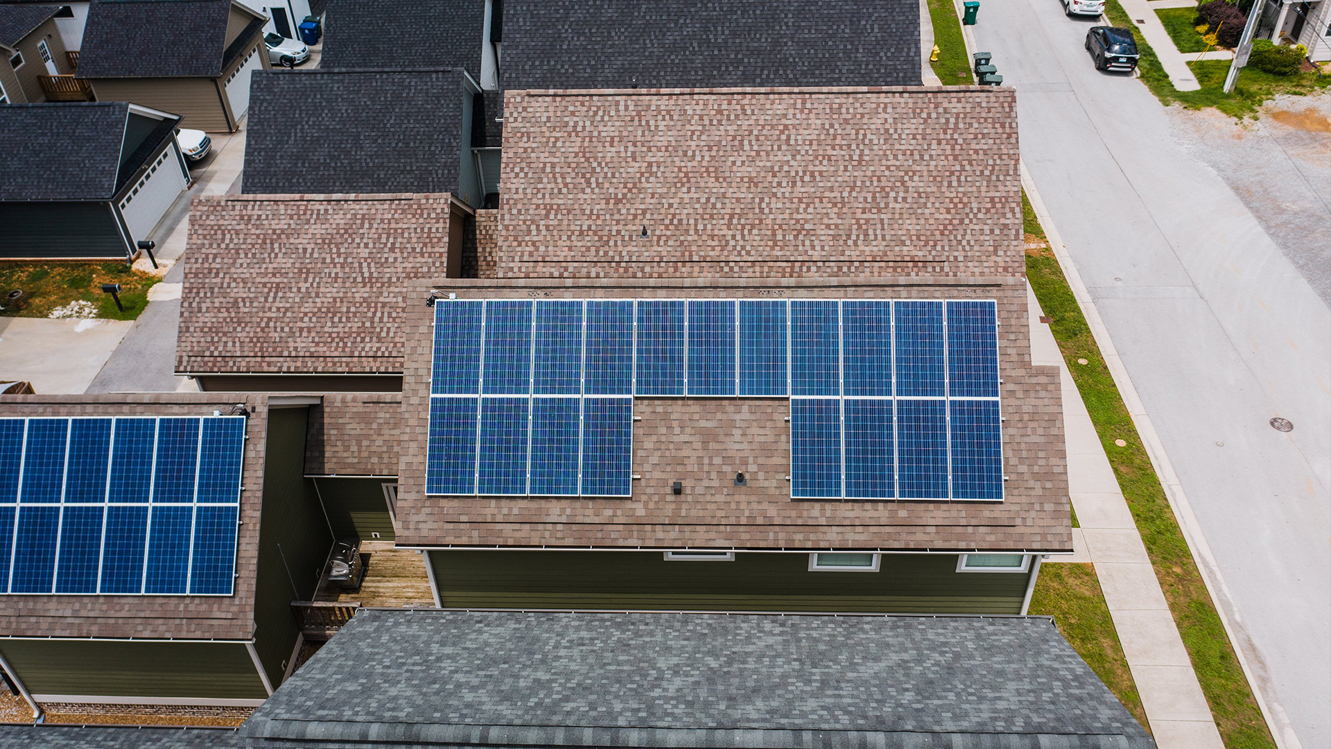
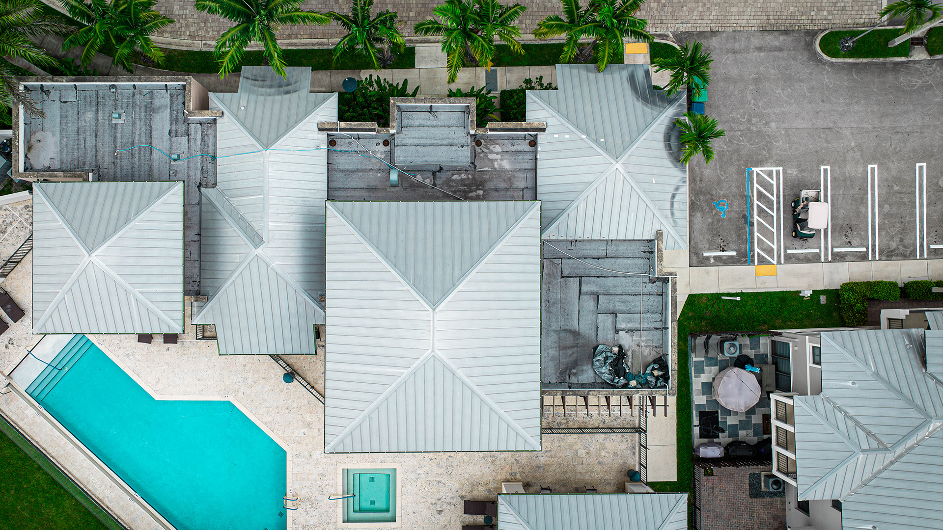
Comprehensive roof inspections, allowing for detailed analysis and identification of potential problems.