Aerial Mapping
Drone surveying saves valuable time, allowing for safer working conditions, better data and more accurate models.
The availability of unmanned aerial photography enables its use in many sectors and produces incredible images.
Many industries require surveyors to provide maps of land areas. From determining the general slope of an area to creating detailed maps of every square meter, drone mapping makes the surveyor's job easier, faster, and safer.
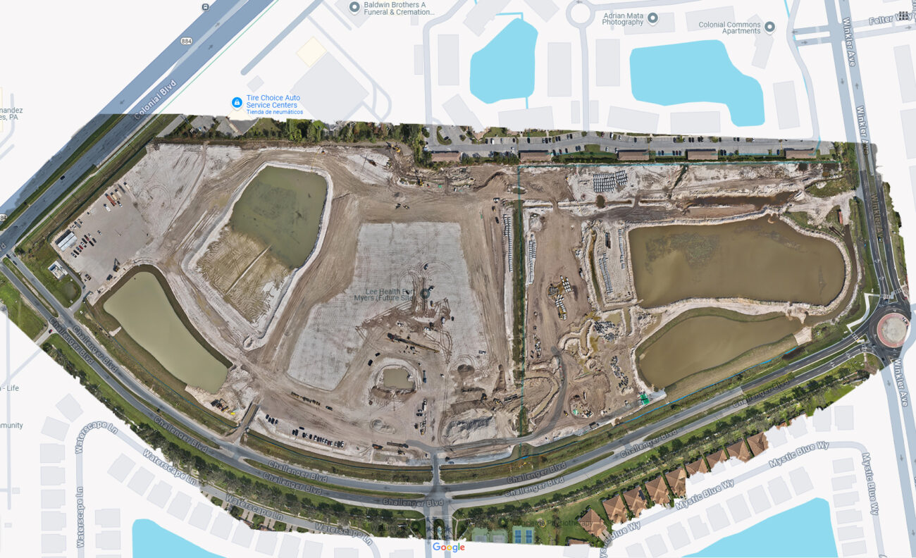
We provide detailed maps and orthomosaics generated by drones for the planning and execution of complex projects.
- Urban planning.
- Agricultural land management.
- Construction and logistics projects.
Advantages
Saves time and costs compared to traditional topographic surveys.
Recommended photos
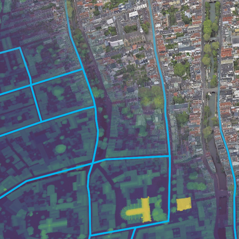
Before-and-after map comparisons, 3D images of terrains.
Save time and money
Low operating costs compared to its main competitors, satellites, airplanes and helicopters, which are more expensive than drone surveying. In addition, recent studies show that drone surveying is up to five times faster than traditional ground-based methods.
High data accuracy
Drones have extremely high accuracy, with aerial mapping reaching centimeter accuracy and mapping accuracy typically reaching 1:1000. In addition, aerial mapping also has a wealth of geographic information, which can capture large-scale terrain data.
Inaccessible places
We obtain comprehensive and reliable data from inaccessible locations, unsafe steep slopes or dangerous terrain.


